


- Photo on Flickr: Flikr
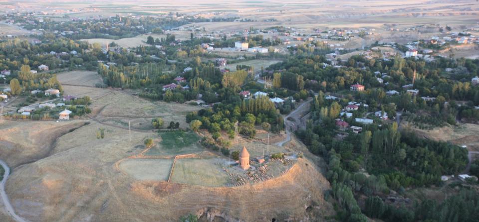
Ahlat
Member of the Turkish National Network
Geographical area
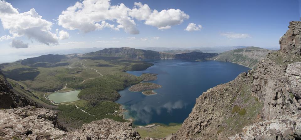
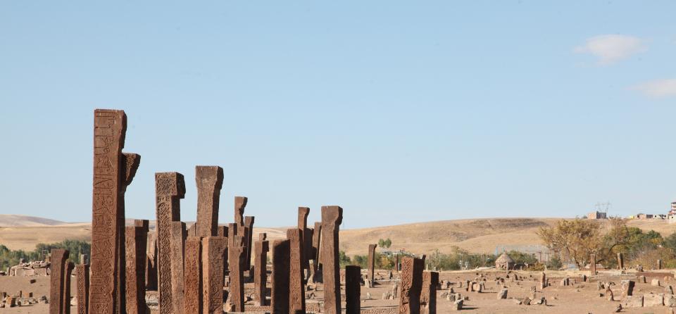
Ahlat is located at the north west of Lake Van and has 1044 km2 surface area on the lake terraces. It is 1750 m above sea level. To the west, Nemrut is an ancient settlement between the two important volcanic mountains that entered the world literature.
History
200.000 - 30.000 Middle Palaeolithic
30.000 - 8.000 BC Upper Palaeolithic
BC 8,000 - 5,500 Neolithic
BC 5500 - 3200 Chalcolithic
BC 3200 / 3000-1500 Bronze Age
1700 BC Hurri HurMitanni
Boundary Principle of 1000 Assyrians
900-600 BC Urartu Domination
600 BC Med-Persian Kingdom
300 BC Macedonia (Hellenistic-Seleucid)
BC 200 Parthias
150 Independence Period
BC 100 - AD 395 Roman - Sassanid Byzantine Struggle
MS 395 - 7th century Byzantine
MS 641 Islamic Empire
MS 800 Abbasids
MS 850 Emperors
MS 850 Byzantine
MS 992 Mervanogullari
MS 1054 Great Seljuk State
MS 1085 Dilmacoglu's
MS 1100 - 1207 Ahlatshah
MS 1207 - 1229 Ayyubids
MS 1230 Mongols
MS 1232 - 1243 The Anatolian Seljuks
MS 1243 - 1335 Ilhanis
MS 1340 The Calayirs
MS 1396 - 1462 Karakoyunlus
MS 1470 - 1501 The Akkoyunlus
MS 1509 - 1533 The Safavids
MS 1533 The Ottomans
MS 1923 Republic of Turkey
Economy
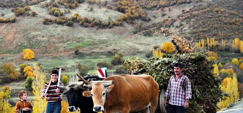
Approximately 69% of the population working in Ahlat District is employed in agriculture and animal husbandry, 22.2% in service and 8.5% in the industrial sector. The main crops are potatoes, sugar beet, dry beans and cereals.
As an agricultural industry, there are meat products processing, tomato paste factory, flour and bulgur factory and water bottling plant.
Necati AKTEKİN/Project Director
+90 5535680536
Contact
Mayor
Abdulalim Mümtaz Çoban
ahlat13400@gmail.com
Necati Aktekin - Representative Cittaslow Ahlat
Aktekin_13@mynet.com